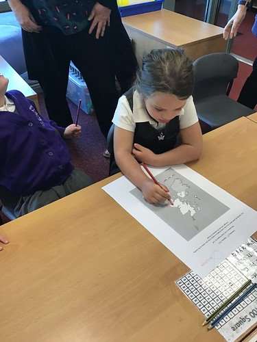
Today we
used the GIS Google Earth to locate where we live and identify and describe the
features we could see in our local area. We put in our postcodes and saw shops,
the school and the roads we knew.
We then use
maps to identify and locate the four countries of the United Kingdom and worked
with a partner to label them on a map. We now know that England, Northern
Ireland, Scotland and Wales are in The United Kingdom.

